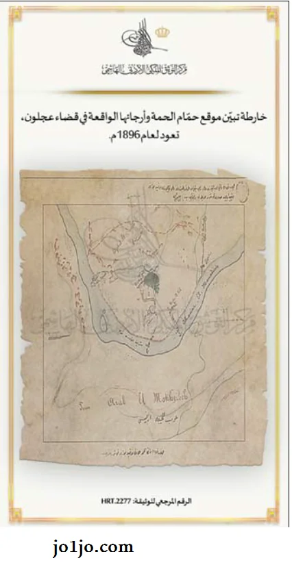
Image of the oldest Arab map in Jordan drawn in 1896 AD
In the attachment, you can see a picture of the oldest map of parts of the regions in the State of Jordan, which is located in the Middle East. This map is of an old tourist attraction, which is still located in the city of Ajloun, showing the location of Al-Hamma and its surrounding areas.
This map was displayed in the Royal Jordanian Documentation Center for an Ottoman document that includes a map for the year 1896 AD showing the two locations of Al-Hamma and its outskirts located in the district of Ajloun.
The center said in a statement that this document is from the archives of the Turkish archive published in the book Jordan through the documents of the Ottoman archives issued by the center in cooperation with the Foundation for Islamic History and Arts Research. (petra)


